


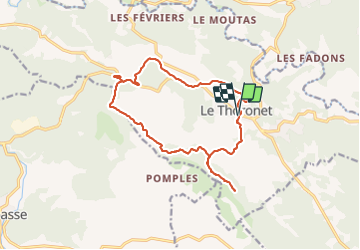


12.3 km | 16.5 km-effort

User GUIDE


FREE GPS app for hiking
 SityTrail
IGN / Geographical institutes
SityTrail World
The world is yours!
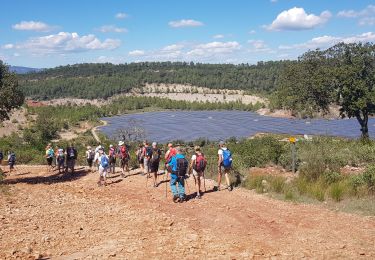
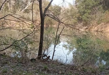
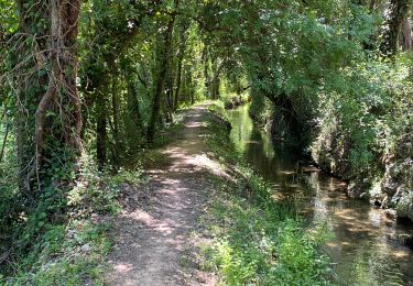
Trail Walking of 16.5 km to be discovered at Provence-Alpes-Côte d'Azur, Var, Le Thoronet. This trail is proposed by Kargil.
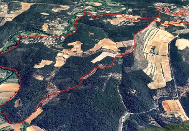
Attention au passage de la cascade rocheuse avant la dernière mine de Bauxite. Nécessite quelques pas simples à la descente à travers les rochers. Prendre plutôt sur la droite.


Walking
Walking
Walking
Walking
Walking
Nordic walking
Walking
Walking

sport